About Us
What we do
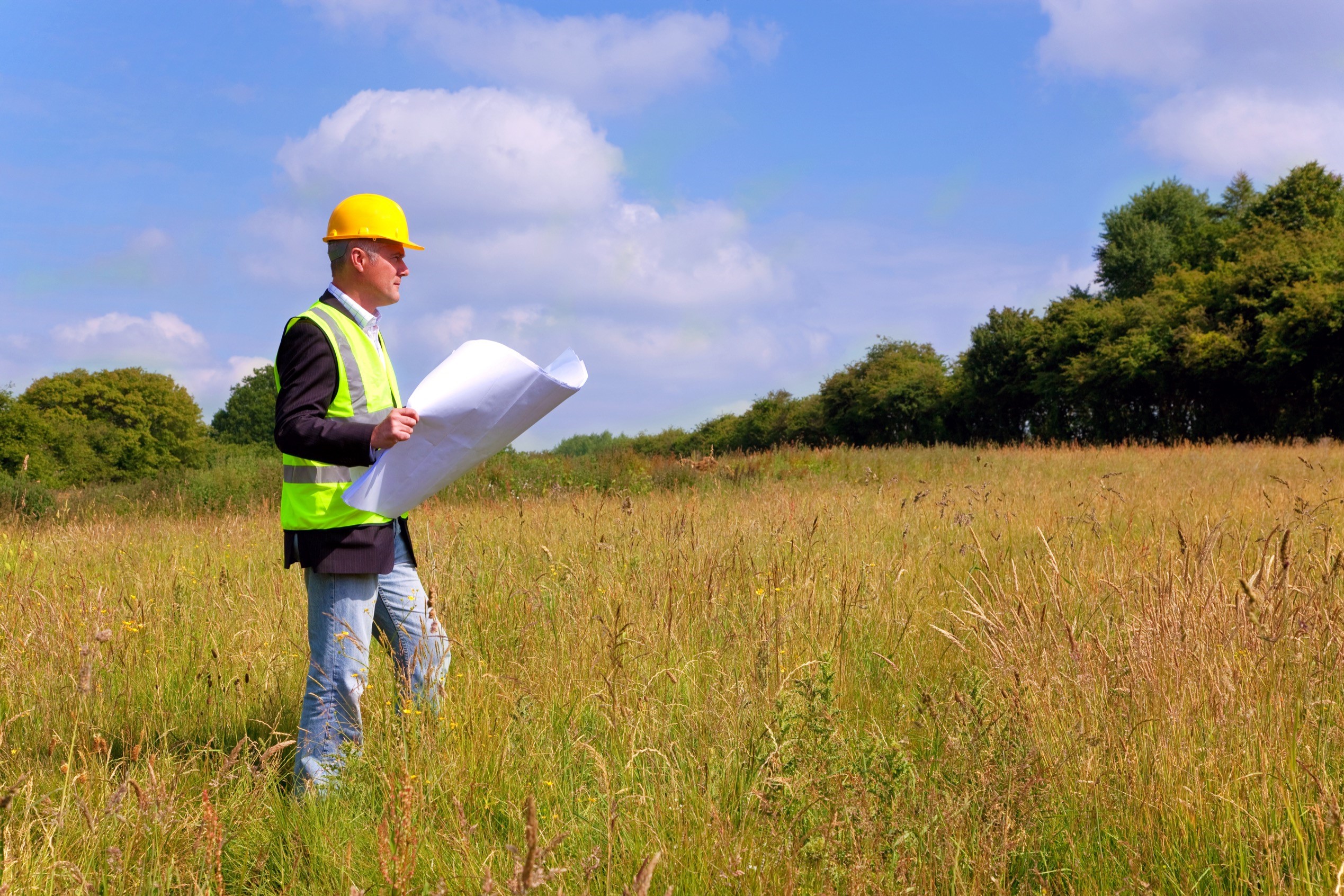
Our multi-disciplinary team provides a full array of services for land development and public infrastructure projects throughout Northern California. From entitlements through construction, SDS integrates our engineering, planning, and surveying expertise to streamline the process and get projects built.

Civil engineering is the backbone of our operation. Our engineers find solutions to whatever engineering challenges your project may face. We specialize in:
- Feasibility studies
- Phase 1 Environmental Site Assessments (ESAs)
- Regulatory permitting
- Grading and drainage design
- Hydrology
- Water and storm water design
- Roadway and utility design
- Retaining walls and sound walls
- Bid and construction administration
- SWPPPs (Storm Water Pollution Prevention Plans)

Our land planners are an integral part of the SDS team and specialize in the planning process from preliminary concepts to finished designs for properties of all sizes. The submittal and processing of tentative maps, tentative parcel maps, and use permits through city and county planning departments can be complex; our planning staff understands this and is experienced in navigating our clients through the process. From single parcels to master-planned communities, we take pride in producing sustainable and efficient designs that result in successful projects and satisfied clients.
Our survey department uses state of the art equipment to produce surveys and maps for projects of all sizes. Our expertise includes:
- Topographic and boundary surveys
- Elevation certificates and flood surveys
- ALTA/ASCM land title surveys
- Property line adjustments
- Parcel maps
- Subdivision maps
- Easement preparation, research, and analysis
- Construction staking to establish horizontal and vertical control for construction projects.
